City
Urban and built-environment intelligence
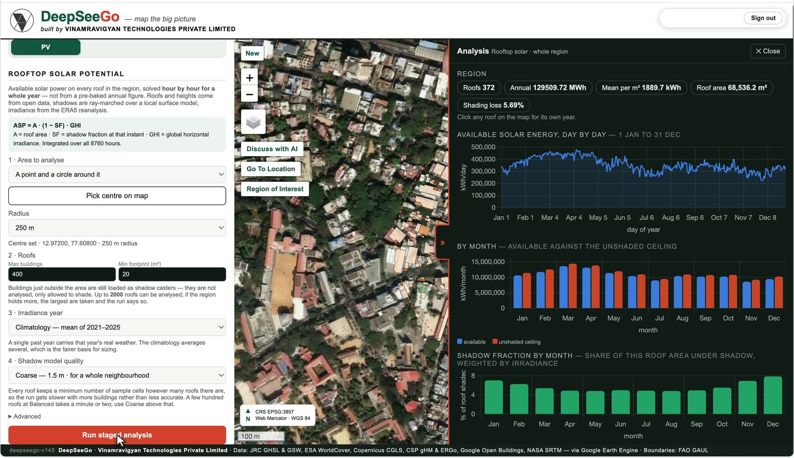
DeepSeeGo maps built-up volume across city zones from 1975 to 2030, solves rooftop solar potential roof by roof including shade from neighbouring buildings, and ranks heat, air and flood vulnerability ward by ward, all from open satellite and reanalysis data.
DeepSeeGo · live toolAir dispersion · in development